
Global Foundation for Democracy and Development (GFDD) partnered with Ocean in Google Earth and Mission Blue at a Rio+20 side event today, to present how Ocean in Google Earth is being effectively used to raise awareness and provide information on coastal and marine resources. They presented the Dominican Republic as a model for the Caribbean and Latin American region.
Ocean in Google Earth collects local stories and locally-based knowledge from people who care about the ocean environment worldwide, related to six key areas: ecosystems, marine life, ocean and atmosphere, science and exploration, marine protected areas and human connections.
GFDD and Ocean in Google Earth have teamed up to create a geo-referenced layer on Google Earth. This is built using a multimedia format highlighting scientific studies and best practice, creating awareness of marine and coastal ecosystems, whilst also documenting the challenges & opportunities that lie ahead for the oceans.
Ocean in Google Earth is an interactive program that allows the viewer to post content in a number of formats, by engaging the public, Google is taking steps to ensure that the world’s collective vision for a sustainable future that promotes prosperity and quality of life, without further erosion of the planet’s natural resources, can become reality.
Natasha Despotovic Executive Director of GFDD commented; “The project is sure to be of immeasurable value to educational institutions, public, private and civil society entities, the United Nations Commission on Sustainable Development and the general public.”
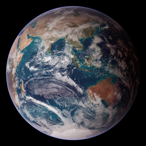
Photo courtesy of NASA Goddard Photo and Video via Flickr (CC BY 2.0)